
It’s a strange thought, but a true one. We’ve mapped the Moon in remarkable detail, even its far side, yet large parts of Earth’s oceans are still a mystery. The seafloor, which covers most of our planet, remains one of the least explored places we know. That, however, might slowly start to change. The US-based space agency NASA has now shared a new way of looking at the ocean floor and it doesn’t involve diving deep underwater.
Mapping The Ocean Without Going Underwater
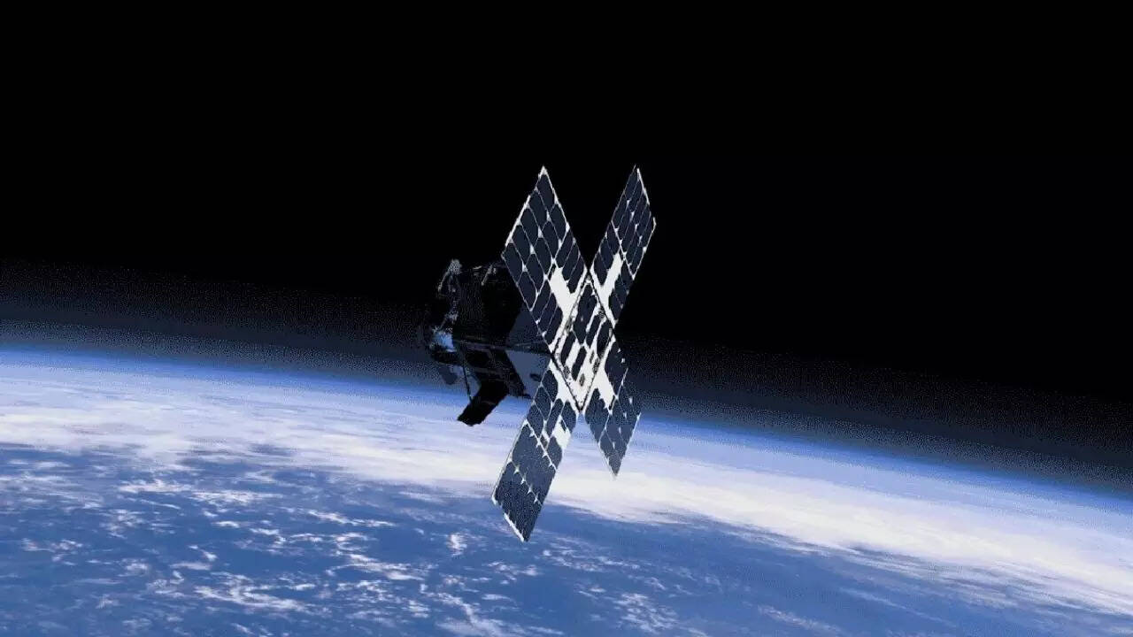
The American space agency has developed a new map using data collected from space. This comes from the Surface Water and Ocean Topography mission, a joint effort between NASA and France’s CNES. Launched in late 2022, the satellite circles the Earth and scans nearly 90 percent of the planet every few weeks.
Here’s the interesting part. It doesn’t actually “see” the ocean floor directly. Instead, it studies tiny changes in the height of water across oceans, lakes and rivers. These small variations act like clues, hinting at what lies far below.
Letting Gravity Do The Work
The science behind this is surprisingly clever. Large underwater features like mountains or ridges have more mass, which slightly increases gravitational pull in those areas. This creates tiny bulges on the water’s surface above them.
By analysing these almost invisible bumps, scientists can piece together a picture of the terrain beneath. As David Sandwell explains, this satellite marks a big leap in how we map the seafloor.
Earlier methods could only detect massive structures, like seamounts over a kilometre tall. With this new approach, much smaller features can now be spotted. Researchers believe this could dramatically increase the number of known underwater mountains, possibly more than doubling current estimates.
Mapping the seafloor isn’t just about curiosity. It has real-world importance. Better maps can improve shipping routes, help lay underwater cables more safely and even identify potential hazards.
It also helps scientists understand ocean currents, marine ecosystems and the movement of Earth’s tectonic plates. In short, it gives us a clearer picture of how our planet works beneath the surface.
This effort is part of a global goal to map the entire ocean floor by 2030. Ships using sonar are still needed for detailed mapping, but satellites can cover vast areas much faster.
Sandwell notes that while a complete map may still take time, this technology brings us much closer to that goal. For now, it’s a reminder of how much of our own planet is still waiting to be discovered.